-
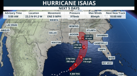 Isaias strengthened into a Category 3 hurricane on Friday and is expected to make landfall near Pensacola by Saturday morning.
-
 Following the Autumnal Equinox, the Climate Prediction Center (CPC) predicts above normal rainfall totals and temperatures across the entire state of Florida.
-
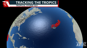 Tropical Storm Fay formed southwest of the Azores in the northeast Atlantic, but there is no direct threat to land.
-
 T.D. Six strengthen enough to become the sixth named storm of the hurricane season, Fay, at 8 a.m. Sunday. It will remain well removed from any landmass
-
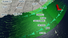 An upper-level low that will move across Florida late during the week and over the weekend will help to increase moisture and erosion to east coast beaches.
-
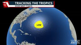 The National Hurricane Center is monitoring a disturbance in the central Atlantic, but the system poses no threat to the U.S. and faces an uphill climb for development.
-
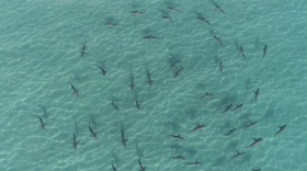 A powerful El Niño can rearrange marine ecosystems, sending sharks and their prey into unfamiliar waters. The biggest changes happen in the Pacific, but the ripple effects can extend far beyond it.
-
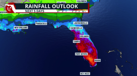 Periods of heavy rain are coming to the Sunshine State. We need the rain, but these amounts could also produce flash floods throughout the rest of the week.
-
 Three storm systems are in various positions around the Atlantic Ocean.
-
 A heat advisory remains in effect again today from 11 a.m. to 7 p.m. for the entire state of Florida.

© 2026 WGCU News
PBS and NPR for Southwest Florida
Play Live Radio
Next Up:
0:00
0:00
Available On Air Stations


