
The cold front is located over southern South Florida on Sunday morning and will continue to push south very slowly. At the same time, this cold front is losing its punch and is about to transition into a stationary front, meandering over South Florida and keeping the atmosphere unstable. Moisture will also linger long enough to keep shower activity going on Sunday.
5/3 @ 4:45am: Overnight showers & storms over the Florida Keys continue to slide east-northeast at this hour. While the bulk of this activity will remain offshore, some shower activity could clip the southern half of the peninsula.
— NWS Miami (@NWSMiami) May 3, 2026
Main window for rain today remains 12-8PM. pic.twitter.com/lzS2FMyHdp
The heaviest showers have ended across Southwest Florida, although clouds will linger for most of the day. Not much rain has fallen across the Cape Coral–Fort Myers region, but the atmosphere will remain muggy on Sunday. Naples through Everglades City did receive between a quarter and three-quarters of an inch, but for most of the afternoon, the heavier showers will remain south of this region, moving into Southeast Florida. There is a small chance of a light passing shower over Naples during the first half of the afternoon.

Southeast Florida has received healthier rainfall overnight into the early morning. Rain will take a break until around noon, when another round is expected to arrive and move mainly west to east, impacting much of the suburbs and metro areas between Palm Beach, Broward, and Miami-Dade counties.

Through mid-morning Sunday, parts of Southeast Florida have received between half an inch and three-quarters of an inch. There could be up to 2 inches of additional rainfall in some areas after Sunday afternoon's rain. Please be advised that if rainfall intensifies, flood advisories may be issued. Stay away from flooded areas.
Although these amounts might not seem too impressive for South Florida, the ground is compacted from the prolonged drought, so rain is not draining easily and is ponding more readily, leading to flooding in some spots. Please avoid any flooded areas.
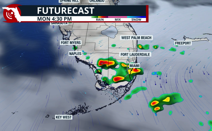

Monday is forecast to bring a continued chance of showers and isolated thunderstorms across the southeast, as the front remains close enough to provide sufficient lift to produce downpours. There will be periods of partly sunny skies, but the highest chance for rain and isolated storms will come in the afternoon. Winds will be from the northeast, gusting up to 18 mph.
Southwest Florida will remain more stable, with a low chance for a brief passing shower. Otherwise, expect partly sunny skies to start the week, along with toasty temperatures in the upper 80s.
Copyright 2026 Storm Center


